Hanoi Etoco - A travel company in Vietnam © Since 2001
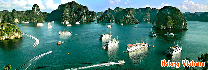

The Mekong River is one of the world's 10th rivers in its river length and has great influences upon nature and societies of the Indo-china Peninsula. The name "MEKONG" originate in Thai language, Mae Nam Khong1). The source of the Mekong River is in Tibet mountains and is called Dza Chu River (River of Rock). After running through very narrow valley paralling Yangz Jiang and Salween River, the Mekong reach to Yung-Nan Province of China and is called Lancang Jiang (Turbulent River). Via Golden Triangle, the crossing of China, Myanmer and Laos boarder, the Mekong flow into Vientiane Plain. The term, Lower Mekong means downstream segment from the point. There are some notorious rapids for French navigation plan in colonial period before the Mekong get to Cambodia, and the last segment is the Mekong Delta in Viet Nam, which distributes grate influeces to agriculture, especially paddy fields there. According to a sketch on the right, we can see this long river with some segments hereinafter
Mekong River Fact sheet
Length:4,200 km (2,610 mi)
Countries: China, Myanmar (Burma), Thailand, Laos, Cambodia and Vietnam
Basin population: 60 Million
Country population total: 242 Million
Per Capita GDP Varies from US$ 2,565 (Thailand) to US$ 265 (Cambodia)
Uses: Irrigation, fisheries, power generation, transportation, industrial and domestic supply
Primary Legal Agreement: Agreement on the Cooperation for the Sustainable Development of the Mekong River Basin, Chiang Rai, Thailand, 5 April 1995 - (Thailand, Laos, Cambodia and Vietnam)
Institutional arrangements: Mekong River Commission (Thailand, Laos, Cambodia and Vietnam)
The Mekong River is the heart and soul of mainland Southeast Asia. The 12th longest river in the world, the Mekong runs 4,800 kilometers from its headwaters on the Tibetan Plateau through Yunnan Province of China, Burma, Thailand, Cambodia, Lao PDR and Vietnam.
Over 60 million people depend on the Mekong and its tributaries for food, water, transport and many other aspects of their daily lives. Its annual flood drought cycles are essential for the sustainable production of rice and vegetables on the floodplains and along the riverbanks during the dry season. Known as the Mother of waters, the river supports one of the world's most diverse fisheries, second only to the Amazon.
This vital ecosystem and lifeblood of the region is currently under threat. Over the past ten years, more than 100 large dams have been proposed for the Mekong basin by institutions like the Asian Development Bank (ADB) and the Mekong River Commission. Some of these projects have already been built. The sun set of Ben Tre
One of the greatest threats is China s plans to construct eight dams on the Upper Mekong / Lancang. Two of these dams have already been completed, and construction on the third project, Xiaowan, began in January 2002. These dams will have widespread impacts on the livelihoods of Mekong communities and on the natural ecology of the river system.
The Mekong river is the dominant geo-hydrologic structure in mainland SE Asia. Recent rapid agricultural and economic development has led to increasing competition among water-using sectors and countries for these water resources. The main issue to be addressed is how to achieve sustainable agricultural, fisheries and economic development, while alleviating poverty and preserving the unique environment and biodiversity of the basin. This includes determining the prospects for increased agricultural, fisheries and livestock intensification, optimization of fisheries, farming and forest systems, measures for preserving unique ecosystems, such as wetlands and upland catchment areas, and identifying efficient, equitable and sustainable water allocation mechanisms for agriculture, fisheries, electricity generation, and urban and industrial use, acceptable to all basin stakeholders.
An Giang Province is on the western extreme of the Mekong Delta bordered by Dong Thap on the northwest; Can Tho on the southeast; Kien Giang on the southwest and 95 kilometre long border with Cambodia on the northwest. An Giang Province is defined by the Tien Giang and Hau Giang Rivers adjacent to the Cuu Long River. Geographically it has a few low mountains and lowland areas. Chau Doc is a town of An Giang by the border between Vietnam and Cambodia , we learn about the ancient Cham civilization and its migration in Vietnam. We take a boating field trip across the Mekong and its canals to observe the floating market and view local industries such as rice paper production and brick making, and cruise along the Bassac River to observe Chau Doc's floating fish farms. We explore the Mien Pagoda, a Khmer Hinayana Buddhist temple, and a Khmer temple.
Bac Lieu Province is located on the southeast of the Mekong River Delta. It is bordered on the north by Kien Giang and Can Tho; on the northeast by Soc Trang; on the southeast by the South China Sea coastline; on the southwest by Ca Mau.
Straddling the National Route 1, Bac Lieu has good land and water transportation, which augers well for developing agriculture, aqua-culture, food and foodstuff processing, garments and ship building industries.
Ben Tre Province geography is a plain of 1.25 metres above sea level combined with a 65 kilometres coastline and riddled with tributaries of the Mekong Delta. This makes it susceptible to flooding. It is bordered on the north by Tien Giang; on the southwest by Tra Vinh and Vinh Long; and the southeast by the South China Sea.
Four rivers dissect the province: Ba Lai, Co Chien, Ham Luong and Tien Giang.
Ca Mau Province is the southernmost tip of Vi괎am. Canals and rivers play important parts in the economy for both food and transportation. Ca Mau is bordered on the north by Kien Giang and Bac Lieu; on the south, east and west by the South China Sea with a coastline of 254 kilometres .
Can Tho The central Mekong Delta is Vietnam's richest, most prolific agricultural region. Covering some 41,632 square miles, it is one of the country's most densely populated areas. Can Tho, in the heart of the Delta, is a bustling market community. Lectures discuss Mekong River commerce, rice production in the Delta, and Khmer influences on Buddhism in Vietnam. We take a field trip to a local fish farming community and enjoy a boating excursion to the floating markets.
Dong Thap Province is located in the extreme south of VietNam bordered by Long An and Tien Giang on the northeast; Vinh Long on the southeast; Can Tho and An Giang on the southwest; a 52 kilometre border with Cambodia on the northwest.
Kien Giang Province is located southwest extremity of Vietnam. It is bordered on the northeast by Dong Thap; by Can Tho and Bac Lieu on the southeast; by Ca Mau on the south; by 200 kilometres of Gulf of Thailand coastline on the west; by 54 kilometres border with Cambodia on the northwest. It also lays claim to 105 islands. Phu Quoc Island, part of Kien Giang province, is also part of an archipelago consisting of 22 islands of all sizes. The island covers an area of 585 square kilometres and is 50 kilometres long. It is also called the Emerald Island because of its natural treasures and infinite tourism potential.
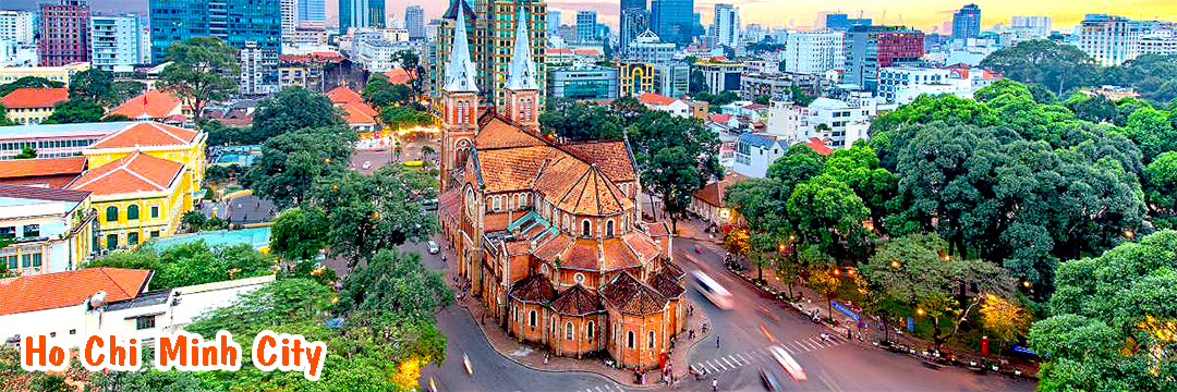
Long An Province is in the Mekong Delta. It is bordered on northeast by Tay Ninh and Ho Chi Minh City/SaiGon; on the southwest by Dong Thap and Tien Giang.
Soc Trang Province, located in the Mekong River Plains, is bordered on the northeast by Tra Vinh; on the southwest by Bac Lieu; on the southeast by the South China Sea; on the northwest by Can Tho.
Tien Giang is located north of the Mekong Delta, adjacent to the Tien River. It is bordered on the north by Long An; on the south by Vinh Long and Ben Tre; on the east by Ho Chi Minh; on the west by Dong Thap.
Tra Vinh Province is situated in the southern plain region of the Mekong Delta, with the soil a mixture of sand and mud silt deposits. Tra Vinh has many sandy caves and has three water regions: salty, sweetish and fresh water, making cultivation and aqua culture the main economic lifeblood of the province. It is bordered on the north by Vinh Long; on the southwest by Soc Trang; on the southeast by the South China Sea; on the northwest by Vinh Long.
Vinh Long Province is situated between the Tien and the Hau rivers. Here the soil is rich in alluvium, favourable for rice and fruit cultivation. The majority of inhabitants engage in farming, the remaining on small enterprises. Vinh Long is close to the Tien River in the North. It is bordered on the north by Tien Giang; on the southwest by Can Tho; on the northeast by Ben Tre; on the northwest by Dong Thap.
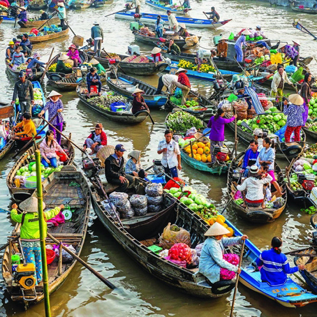 Floating market in Mekong delta